


| March 24 2024 |
Rockies to Upper Midwest Winter Storm: (3/23 - 3/26)
By: Bryan Jackson, WPC Meteorologist
Meteorological Overview:
An upper-level low stalled along the Pacific Northwest coast on Saturday, March 23, 2024 as a reinforcing shortwave trough rounded the west side, which pushed into California that day and sheared the low into a full-latitude trough by the morning of the 24th. A plume of Pacific-sourced moisture spread inland ahead of this trough producing heavy coastal rain (2 to 4 inches) over southern Oregon into northern California and heavy snow in the Shasta/Siskiyou ranges down the length of the Sierra Nevada which received 12 to 24 inches above about 6000 feet on the 23rd and 24th. Over the interior Northwest, the remnants of the upper low were absorbed into a trough extending from a deep low over Hudson Bay. The resultant upper troughing over the Northern Rockies, combined with surface easterly flow from high pressure centered over the Canadian Prairies, produced heavy snow over the ranges of northwest Montana and northeast Washington where 6 to 18 inches fell in the higher terrain.
Further reinforcing shortwave troughs rounded the west side of the long wave trough, ejecting it east over the Rockies and allowing it to redevelop into a deep low pressure system over the central High Plains by the morning of Monday the 25th. This low tracked east-northeast to Iowa through the night of the 25th before phasing with a northern stream trough coming off the Hudson Bay low, resulting in a deep upper low over northern Minnesota by the morning of Wednesday the 27th. The phased low further deepened as it tracked east-northeast over Ontario through Wednesday night.
Heavy snow developed under the passing upper trough on the 24th over the Mogollon Rim in Arizona and the Colorado and northern New Mexico Rockies with 6 to 24 inches falling on terrain above about 6000 feet before tapering off on the 25th. The orientation of the low coming from the southern Rockies prevented Gulf moisture from wrapping around the low level low pressure until it was well onto the Plains, leaving a gap in precipitation over eastern Colorado and New Mexico with heavy snow bands developing over the central Plains as a TROWAL formed on the night of the 24th. The deep lee-side surface low emerging from the southern High Plains along with high pressure centered over the northern High Plains resulted in strong winds and blizzard conditions from western Kansas to south-central South Dakota where 6 to 12 inches fell with a maximum report of 13.5” near Anselmo, Nebraska.
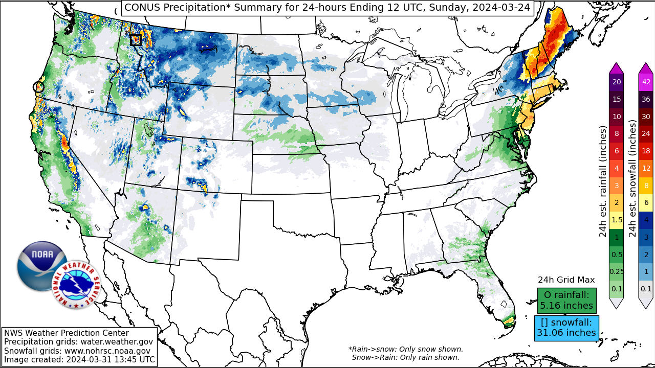
Meanwhile, strong moisture advection ahead of the developing central Plains low met cold air over the Upper Midwest on the southern extent of the Hudson Bay low, with heavy snow bands lifting north over the northern half of Wisconsin into the Upper Peninsula of Michigan and eastern Minnesota starting in the afternoon of Sunday the 24th. 6 to 12 inches of snow fell by the morning of the 25th including 8.2 inches at Minneapolis-St. Paul airport on the calendar day of the 24th which was the snowiest day and over a quarter of their total seasonal snowfall in what was a rather lackluster winter (snow-wise) in central Minnesota. This warm advection snow then shifted north and west on the 25th before tapering off that night, but then the surface portion of the phased low tracked northeast over Wisconsin on the 26th, bringing a round of wrap around/TROWAL forced snowbands to the northwest before tracking into Ontario that night. Two-day snowfall of 6 to 15 inches ending the morning of the 27th was reported over northeastern Minnesota and along the southwestern shore of Lake Superior in far northern Wisconsin and the Keweenaw Peninsula in Michigan. The highest 3-day snowfall through this event was around Duluth, Minnesota where about 20 inches fell due to persistent cold air and some enhancement from Lake Superior.
Impacts:
Heavy snow along the Sierra Nevada on the 23rd and 24th caused two days of chain controls on I-80 north of Lake Tahoe, but no further notable overland travel impacts were reported. Mainly minor impacts were reported over the Four Corners states on the 24th and 25th with higher elevation school closures and some traffic incidents. Utah highway patrol reported over 100 car crashes linked to rain and snow on Sunday the 24th, the majority of which were in the Salt Lake Valley.
Notable impacts were reported on the central Great Plains in the blizzard conditions that developed. I-70 was closed in northwest Kansas for a portion of Sunday night due to multiple vehicle crashes and a 150 mile stretch of I-80 was closed west of Kearney, Nebraska due to blowing and drifting snow that caused whiteout conditions.
The prolonged snow in the Upper Midwest was impactful to travel and commerce. Minnesota State Patrol reported about 750 crashes and nearly 700 spinouts from Sunday into Tuesday with 47 injuries, two of which were fatal. The Minneapolis-St. Paul airport reported more than 200 delayed flights and seven cancellations.